| | Title | Description | Height | Width | File Size | |
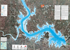
| Lake LBJ South | Underwater contour map of southern portion of Lake LBJ, color infrared background photography. Bathymetric information from 1995 sonar survey. | 22.5" | 30.0" | 14.0 MB |

|
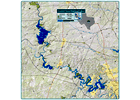
| Highland Lakes | 35" x 35" general reference map of the Highland Lakes with raised relief. Includes lakes Buchanan, Inks, LBJ, Marble Falls, Travis and Austin. | 35.5" | 35.5" | 5.9 MB |

|
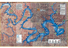
| Lake Travis Hazards Map (east) | Underwater contour map of eastern portion of Lake Travis, color infrared background photography. Bathymetric information from 1995 sonar survey. | 27.0" | 39.0" | 13.0 MB |

|
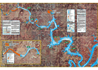
| Lake Travis (west) and Marble Falls Hazards Maps | Underwater contour map of Lakes Marble Falls and Travis (western portion), color infrared background photography. Bathymetric information from 1995 sonar survey. | 27.0" | 39.0" | 7.2 MB |

|
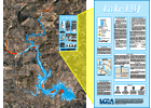
| Lake LBJ Hazards Map | Underwater contour map Lake LBJ, color background photography from 2002. Bathymetric information from 1995 sonar survey. | 60.0" | 46.0" | 11.3 MB |

|
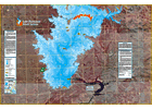
| Lake Buchanan Hazards Map (south) | Underwater contour map of Lake Buchanan (southern portion), color infrared background photography. Bathymetric information from 1995 sonar survey. | 27.0" | 39.0" | 3.3 MB |

|
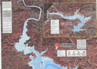
| Lake Buchanan Hazards Map (north) | Underwater contour map of Lake Buchanan (northern portion), color infrared background photography. Bathymetric information from 1995 sonar survey. | 23.5" | 31.0" | 7.1 MB |

|
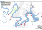
| Lower Lake Travis Marinas | Current marina locations and status on lower Lake Travis. | 11.0" | 17.0" | 0.1 MB |

|
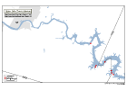
| Upper Lake Travis Marinas | Current marina locations and status on upper Lake Travis. | 11.0" | 17.0" | 0.1 MB |

|
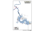
| Lake LBJ Marinas | Current marina locations and status on Lake LBJ. | 11.0" | 17.0" | 0.1 MB |

|
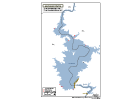
| Lake Buchanan Marinas | Current marina locations and status on Lake Buchanan. | 11.0" | 17.0" | 0.1 MB |

|
